|
|
|
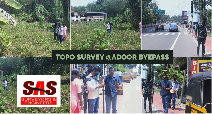
Topo survey @adoor byepass - Road Survy from SAS Surveyors & Engineers in Pathanamthitta
 Views : 73700 Views : 73700
Topo survey @adoor byepass - Road Survy from SAS Surveyors & Engineers in PathanamthittaLand Surveyors in Pathanamthitta, Land Surveyors in Thiruvalla, Land Surveyors in Adoor, Land Surveyors in Pandalam, Land Surveyors in Kozhencherry, Land Surveyors in Pathanamthitta - SAS Surveyors & Engineers in Pathanamthitta. Land surveying, Surveyor, Geomatics,Boundary survey, Topographic survey, Construction survey, GPS surveying, Land measurement, Land mapping, Geodetic survey, Surveying equipment, Legal descriptions, Land records, Geographic information system (GIS), Land development, Cadastral survey, Elevation survey, Remote sensing, Aerial surveying, Geospatial data
|
|
|
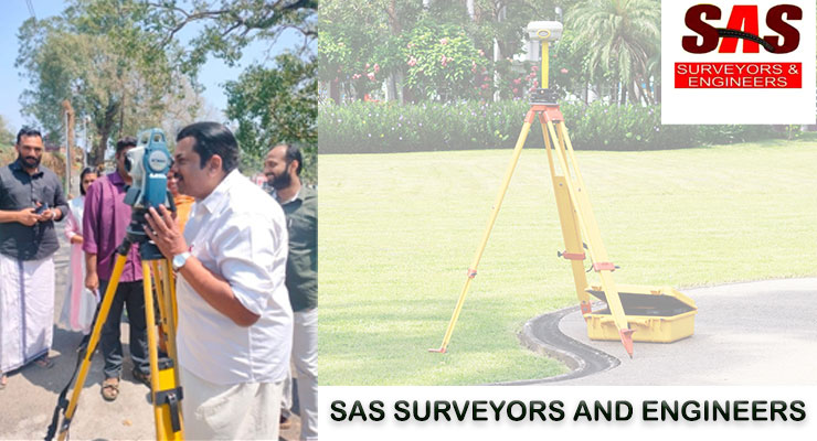
Integrated Surveying and Engineering Expertise - Sas Surveying and Engineering: Mapping Progress in Adoor Pathanamthitta Kerala
 Views : 58007 Views : 58007
Discover Precision and Excellence with SAS Land Survey Kottayam!
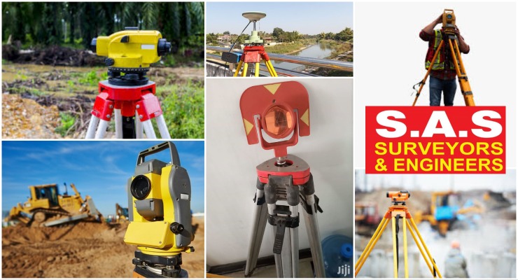
Road Survey Services, GPS Survey Services, Geological Survey Services, Transmission Line Survey Services, Remote Sensing Services, Topographic Survey Services, Groundwater Survey Services, Environmental developer, architect, engineer, or landowner in Kottayam, SAS Land Survey Kottayam
|
|
|
Unlocking Insights for Land, Coastal, and Geotechnical Projects - Sas Surveyors And Engineers - situated at Adoor - Pathanamthitta - Kerala
 Views : 59890 Views : 59890
Sas Surveyors And Engineers, located in Adoor, Pathanamthitta, Kerala, is your trusted partner for a wide range of surveying services. Our team of skilled professionals specializes in hydrographic surveying, road surveying, coastal surveying, RTK surveying, geotechnical services, total station surveying, and preliminary surveys.
Road Survey Services, GPS Survey Services, Geological Survey Services, Transmission Line Survey Services, Remote Sensing Services, Topographic Survey Services, Groundwater Survey Services, Environmental
|
|
|
Sas Surveyors And Engineers Kerala
 Views : 64112 Views : 64112
Sas Surveyors And Engineers is one of the leading and longest serving survey consultancy company in Karnataka. We take pride in our Accuracy, presentation and timely delivery of the projects undertaken.
|
|
|
|
|
traffic survey kerala, digital survey kollam, digital survey, drone survey kerala, aerial survey kerala, UAV kerala, traffic data analysis, traffic flow analysis, traffic congestion analysis, road traffic survey, vehicle count survey, speed survey, traffic volume survey, digital mapping, geographic - Sas Surveyors And Engineers offers comprehensive land surveying and mapping services for infrastructure, residential, and industrial projects in Pathanamthitta, Pala, Kottayam, Alappuzha, Idukki, and Ernakulam. Our expertise includes road surveys, GPS surveys, geological surveys, and more. View Ocatlink of SAS Surveyors & Engineers
Listed in :
Road Surveyors and Engineers in Kerala |
Digital Land Survey Consultant & Plotting Centre in Kerala |
Quality Geotechnical Services In Kerala |
Survey Solutions & Road Survey Services In Kerala |
|
|
|
|